Wind & gusts
Wind speed and potentially direction, with a particular focus on exposure at walker height.
Observation prototype · In development
What does the weather really feel like where we walk?
We’re developing a small, self-contained sensor unit that brings together several measurements and transmits its readings wirelessly. The aim is to compare forecasts with conditions on the hill, and learn where they can improve.
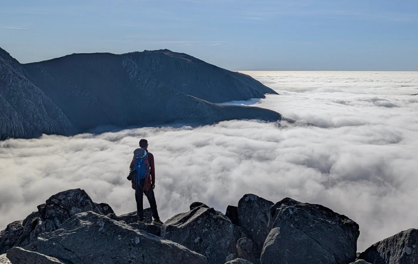
Our first research focus
An exposed ridge. A sheltered path. The same forecast, a different experience.
We want to measure wind close to the height people experience it. Comparing readings from different positions could help us test how well our forecasts account for ridges, cols, slopes and shelter.
Measurements would be checked before comparison, with sensor height, terrain and uncertainty made clear.
A modular platform
These are the measurements and capabilities we’re exploring. The sensor mix will evolve through testing and suit the question at each site.
Wind speed and potentially direction, with a particular focus on exposure at walker height.
Air temperature, humidity and pressure, with scope to explore cloud and visibility observations.
Surface and ground temperature probes to investigate freezing, thawing and local differences.
Snow depth and additional temperature probes to explore snow cover and sensor burial.
Passage counts, with direction where feasible, to study patterns of use alongside the weather.
Solar and battery power, wireless updates, station health checks and local storage through connection gaps.
From readings to evidence
Record what was predicted.
Measure conditions on the hill.
Find where predictions differ.
Test changes against new observations.
Combining conditions and passage counts could help land managers understand busy periods, seasonal changes and use of exposed routes. The aim is aggregate patterns of activity. Counts alone cannot explain an individual’s decisions.
Initial testing will explore reliability and data quality. Longer trials could build a record across the seasons. This is a system in development: its observations are not yet feeding our forecasts. We’ll publish findings, methods and limitations for anyone to read.
An invitation to collaborate
Manage a hill, path or upland estate? Have existing observations or a research question this could help answer?
We’re exploring potential locations and permissions in principle before selecting trial sites. We’d agree the details with each host and share the observations and findings.
Talk to Simon about the projectSimon Grogan · Mountain Weather / Spatial Terrain Limited