July stays on Angus Glens
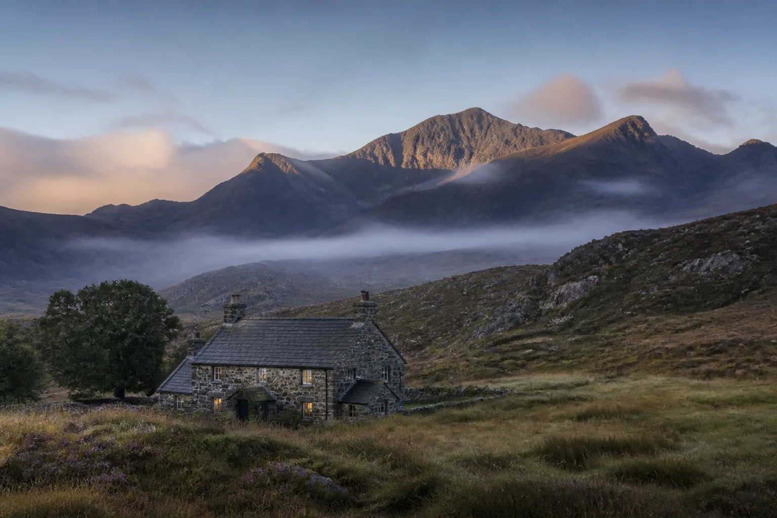
A cottage near Angus Glens
A practical base for the hills
Check dates for an indicative priceExact July prices and availability are checked after you choose a week.Typical mountain and low-level wind, temperature, rainfall and sunshine for July.
Historically, July has been one of the more promising parts of the year for high-ground days. Of 1,240 representative high-ground days, 43% were settled for rain and wind, 53% were mixed, and 4% were poor or severe for rain and wind.
Dry days accounted for 47% of the sample. Across the whole year, the settled-day share is 41%, with around 184 wet days, so a region's strongest month should not be mistaken for its usual climate. As a separate check, the Met Office 1991–2020 average at Forfar No 3 is 167 hours of bright sunshine during July. Cloud and views are deliberately kept out of the settled-day score because they vary sharply between individual summits; check the live forecast nearer the trip. These figures describe representative high ground around 1,155 metres, so coastal and low-level conditions can be milder.
A practical base for the hills
Check dates for an indicative priceExact July prices and availability are checked after you choose a week.Choose the week you are planning to visit and compare the typical mountain weather, then explore the month-by-month picture below.
Across 280 comparable historical hill days, 45% were settled for rain and wind and 3% were poor or severe for rain and wind.
Check the live Angus Glens forecast →July context: 43% of days across the month were settled for rain and wind; 4% were poor or severe for rain and wind. Read the full July guide.
Clova, at roughly 180 metres, provides a practical low-level reference for Angus Glens. Across 1,240 historical days, the typical daytime high was 17.9°C, with warmer days around 20.4°C.
About 52% of days were dry and 51% combined dry weather with lighter winds. Conditions vary across glens, coasts and villages, so this should be used as regional trip-planning guidance rather than a forecast for every location.
Each month has a detailed guide comparing high-ground hill days with typical conditions at a representative valley or low-level trip base.
These are the six week bands with the largest historical share of settled rain-and-wind days. Views are not included; use the live forecast nearer the trip.
Based on ERA5 reanalysis from the Copernicus Climate Change Service for 1986–2025, summarised for representative high-ground and valley locations. These are reconstructed historical conditions, not a continuous summit weather-station record. Sunshine uses separate Met Office 1991–2020 averages.
Weather data: Open-Meteo (CC BY 4.0). Adapted by Mountain Weather.
The comparison uses the whole year, rather than putting each region's single best month beside another's typical conditions.